Bungambrawatha Creek, a low lot and what a boundary survey will not tell you
By Artigellence ·
AlburyCity's flood page says Bungambrawatha Creek runs north to south through the town centre and that, in severe storms, it can overflow and inundate houses. A boundary survey is about where a lot's edges are; nothing we read says it shows whether the lot floods. Ask the council about flooding, and ask the provider what the survey will show. The planning controls page and the rules check cover the rest.
Call (02) 9072 0403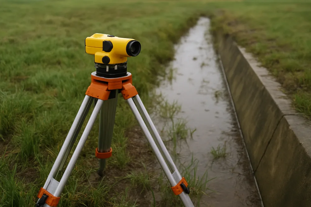
What the council says about the creek
AlburyCity's floodplain page says Bungambrawatha Creek is the largest creek in its flood study area, running north to south through the town centre and discharging into the Murray River near the Botanic Gardens. It says that during severe storms the creek can overflow and inundate houses, and that flooding can be worse if culverts on the creek are blocked or the Murray River also has a high water level.
It says localised flooding occurs at several locations in the area, and that the most recent events it records were in February 2001 and September 2005. We read the page on 7 October 2026. We describe only what it says about the area and say nothing about any address.
Why a survey is a different question
A survey plan is about boundaries. Spatial Services says surveyors use survey marks to establish the accurate location of property boundaries, and that this is recorded on a Deposited Plan.
The same page says survey marks can also contain an accurate position and height, which tells us how high or low we are relative to sea level, and that this is important for flood studies among other uses. It does not say that a boundary survey shows a lot's flood level, and neither do we.
What the council says it does
AlburyCity says it takes flooding into account when controlling the development of flood-prone land, and, among the chapters to consider when planning a subdivision, points to Planning for Hazards: the risks associated with development on land that is prone to natural hazards should be minimised.
We read both pages on 7 October 2026. Neither mentions the cost of a survey, and neither says what a provider must do. They say what the council considers and where to look.
What to ask
Ask the council whether the lot is flood-prone before you buy or plan. Ask the provider what the survey will show: boundaries only, or also levels, and what the quote says if the council asks for more. Say in your first message if the land is low or near a creek or drain.
We do not say that any provider is a registered surveyor; the question to put to whoever quotes is on the <a href="/who-prepares-a-survey-plan/">who prepares a survey plan page</a>.
Artigellence is the marketing business that operates this site and writes its articles. It does not carry out the work described.
Thanks — we have your enquiry. Someone will be in touch shortly. Prefer to talk now? Call (02) 9072 0403.
Last reviewed · Updated · First published