Survey Marks and Boundary Pegs in Albury
Spatial Services says survey marks are essential in defining property boundaries, and that cadastral reference marks provide reference points for property boundaries and also define them. If works could disturb or remove a mark, it says you must submit an Application for Surveyor General Approval, and to allow 10 working days for a formal response.
Thanks — we have your enquiry. Someone will be in touch shortly. Prefer to talk now? Call (02) 9072 0403.
What survey marks in Albury actually involves
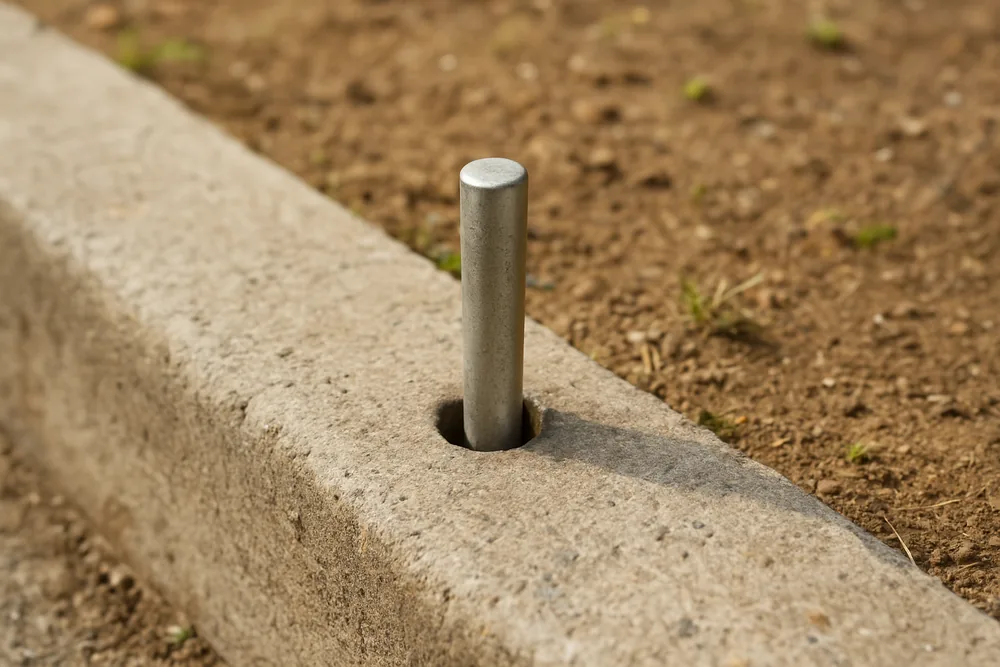
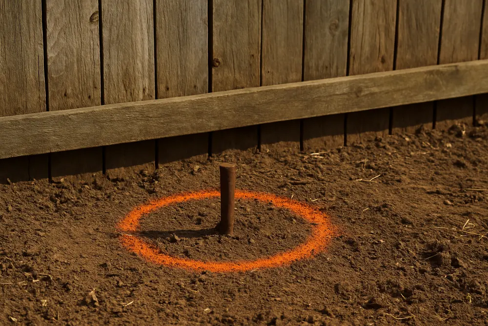
We read the Spatial Services page on the Preservation of Survey Infrastructure program on 7 October 2026. It lists the forms cadastral reference marks take, among them drill holes and wing chiselled into concrete such as in kerb and guttering, and concrete blocks, iron rods or galvanised iron pipes buried in the ground nearby a property boundary. It says surveyors often indicate the location of survey marks using star pickets, identification plates, or spray paint on surrounding features.
What to do before works
The page says to find out whether survey marks are in the area first, and that a registered surveyor should be consulted as early as possible, at the planning stage. It lists general land use development including greenfield subdivisions, residential, commercial and industrial property development among the ways marks are usually destroyed. This site does not say whether a given mark is present on your land.
If a mark could be affected
Spatial Services says that if any survey marks could be affected by works, for example disturbed or removed, you must submit an Application for Surveyor General Approval through the Spatial Services Customer Hub. Say in your enquiry if a peg, plate or kerb mark is near the work, and do not move it yourself. The who prepares a survey plan page covers the question to ask the provider.
The rule is State-wide, so nothing about it is particular to Albury. A new estate is where the page's own list of causes lands: see the Thurgoona page for the council's plan for that area.
Albury land surveying rules check
Survey Marks and Boundary Pegs in Albury — common questions
What does a survey mark look like?
Spatial Services lists drill holes chiselled into concrete such as in kerb and guttering, and concrete blocks, iron rods or galvanised iron pipes buried in the ground nearby a property boundary, among the forms cadastral reference marks take.
Can I remove a mark?
Not on your own. Spatial Services says that if survey marks could be affected by works you must submit an Application for Surveyor General Approval and allow 10 working days for a formal response.
Who should look first?
Spatial Services says a registered surveyor should be consulted as early as possible, at the planning stage.
Land Surveying by suburb
- East Albury
- West Albury
- Land Surveying in South Albury
- Land Surveying in Lavington
- Land Surveying in Thurgoona
- Wirlinga
- Land Surveying in Table Top
- Splitters Creek
Before any survey: check the person is registered with the Board
The Surveying and Spatial Information Act 2002 (NSW) says, in section 21(1), that a person must not carry out a land survey for fee or reward, or advertise that he or she is willing to, unless the person is a registered land surveyor. The Board of Surveying and Spatial Information's pathway to registration page describes how a surveyor becomes registered. Ask whoever quotes whether they are registered.
Last reviewed · Updated · First published