Planning Controls and Flood-Prone Land in Albury in Albury
AlburyCity says Albury's location on the banks of the Murray River and within its catchment areas means the city is vulnerable to flooding, and that it takes flooding into account when controlling the development of flood-prone land. Whether a given lot is flood-prone, or near a heritage area, is a question for the council: a boundary survey is not stated to answer it.
Thanks — we have your enquiry. Someone will be in touch shortly. Prefer to talk now? Call (02) 9072 0403.
What planning controls in Albury actually involves
We read AlburyCity's floodplain, heritage and subdivision pages on 7 October 2026. The council says the Albury Local Environmental Plan 2010 details the boundaries of its heritage conservation areas and items in its list of heritage maps, and that Part 7 of the Albury Development Control Plan 2010 provides objectives and controls for managing and conserving them. Among the chapters it says to consider when planning a subdivision is Planning for Hazards: to protect properties and landowners from potential hazards, the risks associated with development on land that is prone to natural hazards should be minimised.
What a survey mark can tell you about height
Spatial Services says survey marks can contain an accurate position and height, which tells us how high or low we are relative to sea level, and that this is important for flood studies among other uses. Its page does not say a boundary survey shows a lot's flood level, and neither do we.
What to ask
Ask the council whether the lot is flood-prone or near a heritage area, and ask the provider what the survey will and will not show. Say in your enquiry if the land is low, near a creek or drain, or in an older part of town. The article on Bungambrawatha Creek sets out one local case.
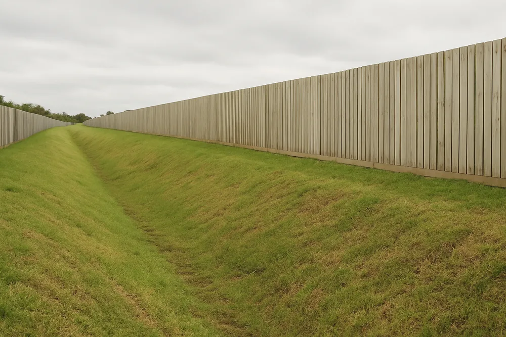
The council's flood page names the areas it has studied: the Bungambrawatha Creek area (including West Albury, South Albury and Lavington Drains), the Thurgoona catchment and Eight Mile Creek. The Lavington and South Albury pages each take one of its statements.
Albury land surveying rules check
Planning Controls and Flood-Prone Land in Albury in Albury — common questions
Does a boundary survey show whether a lot floods?
No page we read says so. Spatial Services says survey marks can carry an accurate height, important for flood studies, but a boundary survey is not stated to give a flood level. Ask the council.
Where are the heritage areas?
AlburyCity says the Albury Local Environmental Plan 2010 details their boundaries in its list of heritage maps. We could not read the Plan, so we do not say where any area lies.
What is the hazards chapter?
AlburyCity says its Chapter 6, Planning for Hazards, is there to protect properties and landowners, and that the risks of development on land prone to natural hazards should be minimised.
Land Surveying by suburb
- East Albury
- West Albury
- Land Surveying in South Albury
- Land Surveying in Lavington
- Land Surveying in Thurgoona
- Wirlinga
- Land Surveying in Table Top
- Splitters Creek
Before any survey: check the person is registered with the Board
The Surveying and Spatial Information Act 2002 (NSW) says, in section 21(1), that a person must not carry out a land survey for fee or reward, or advertise that he or she is willing to, unless the person is a registered land surveyor. The Board of Surveying and Spatial Information's pathway to registration page describes how a surveyor becomes registered. Ask whoever quotes whether they are registered.
Last reviewed · Updated · First published