Land Surveying in Lavington
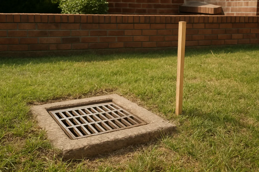
Storm runoff can outrun Lavington's drains. AlburyCity's flood page says the Lavington Drains area drains runoff from a relatively small catchment, but the drainage can be insufficient in large storms, leading to flooding of properties and roads. For land in Lavington, “has water been through this lot?” is a fair question to put to whoever quotes.
Thanks — we have your enquiry. Someone will be in touch shortly. Prefer to talk now? Call (02) 9072 0403.
Land Surveying around Lavington
The council's page (read 7 October 2026) groups the Lavington Drains with the Bungambrawatha Creek flood study area, and says localised flooding occurs at several locations in the area; the most recent events it records were in February 2001 and September 2005. It says the flood study area contains a large section of the Albury urban area, and that West Albury, South Albury and the Lavington Drains are also liable to significant flooding.
None of these pages mentions a land survey for a given lot, so what follows is our inference, not a rule: a survey is about boundaries, and Spatial Services does not say a boundary survey shows a flood level, so for land in the Lavington Drains area the flood question is the council's. Ask the council whether the lot is flood-prone (it says it takes flooding into account when controlling the development of flood-prone land), and ask the provider what the survey will and will not show. The page describes an area, not any address, and we say nothing about a particular lot.
Our Lavington service area
An enquiry from Lavington is passed on to an independent local provider, who gets in touch to look at the job.
See all Land Surveying in Albury. Other localities named on this site: Thurgoona and West Albury. Related pages: subdividing land, survey marks, planning controls and flood-prone land and who prepares a survey plan. Source: AlburyCity, Floodplain management (read 7 October 2026).
Call (02) 9072 0403Last reviewed · Updated · First published